


The altitude: 702m from the sea level.
The altitude difference: 600m.
Class: one of 100 best Kanagawa Mountains.
Time: 4 to 5 hours.
Rank: the beginners to middle class.
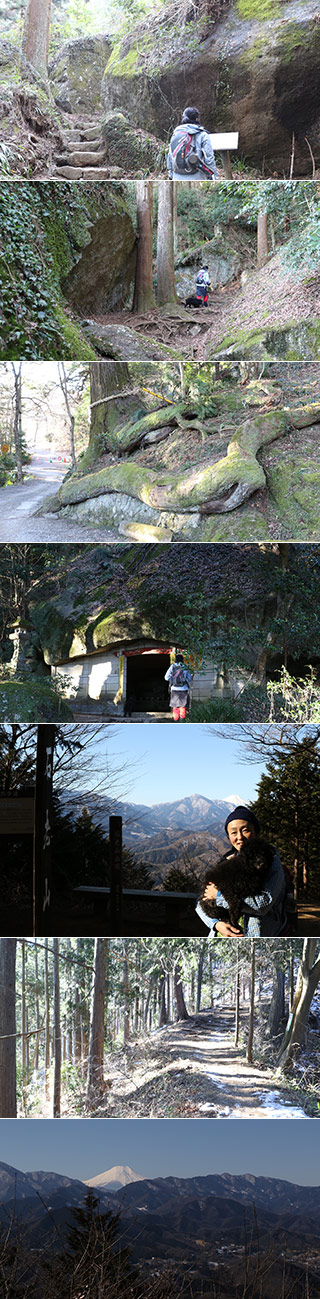
Mt. Sekiro is one of the popular one-day hiking spots around Tokyo. The course is about 4 hours. Because of easy access from Tokyo without car and middle class hiking, many people enjoy hiking at this mountain. From the top of Mt. Sekiro and Daimyojin Observatory, it has a great view of Mt. Fuji. On the trail, there are many giant unique rocks you can enjoy.
Kenkyoji Temple
It was established in 851. There is a huge rock cave. Also, it has a great cedar tree with giant roots that look like huge snakes.
Route
Stat at Sagamiko Hospital or Sekirozan iriguchi bus stop.
40 min.
Kenkyoji temple.
70 min.
The top of Mt. Sekiro
70 min.
Daimyojin Observatory.
40 min.
Pleasure Forest Bus stop.